No products in the cart.


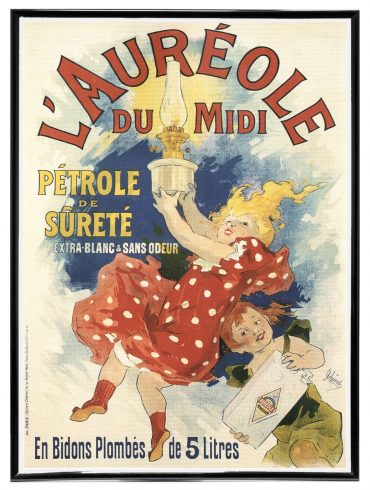
Alphonse Mucha Artworks
The most comprehensive collection of Alphonse Mucha Artworks. 208 images in High Resolution available as instant bulk downloads. Averages 2400 X 3100 pixels
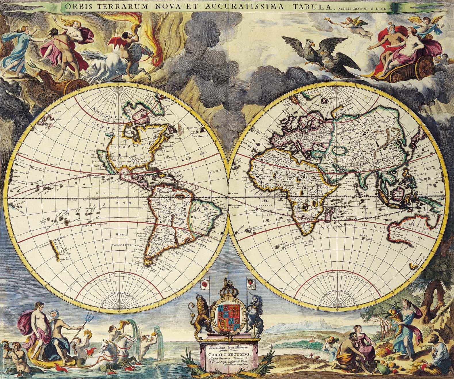
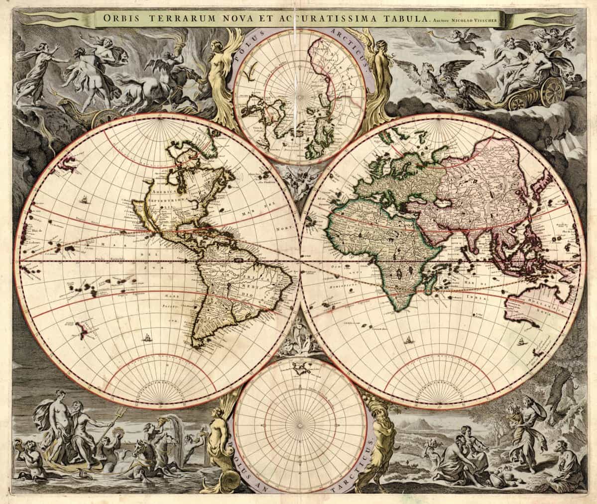
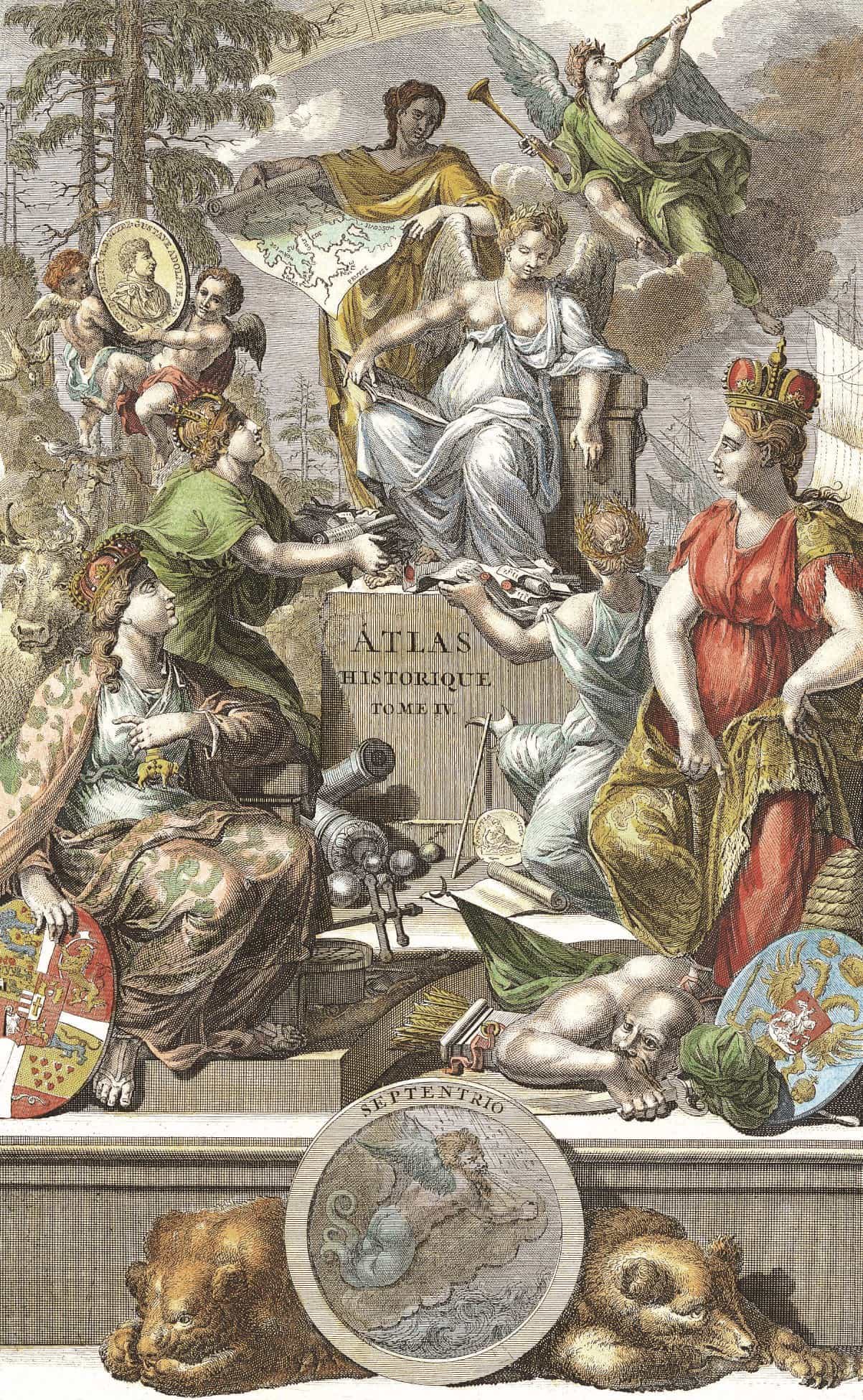
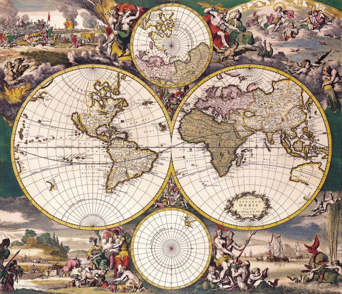
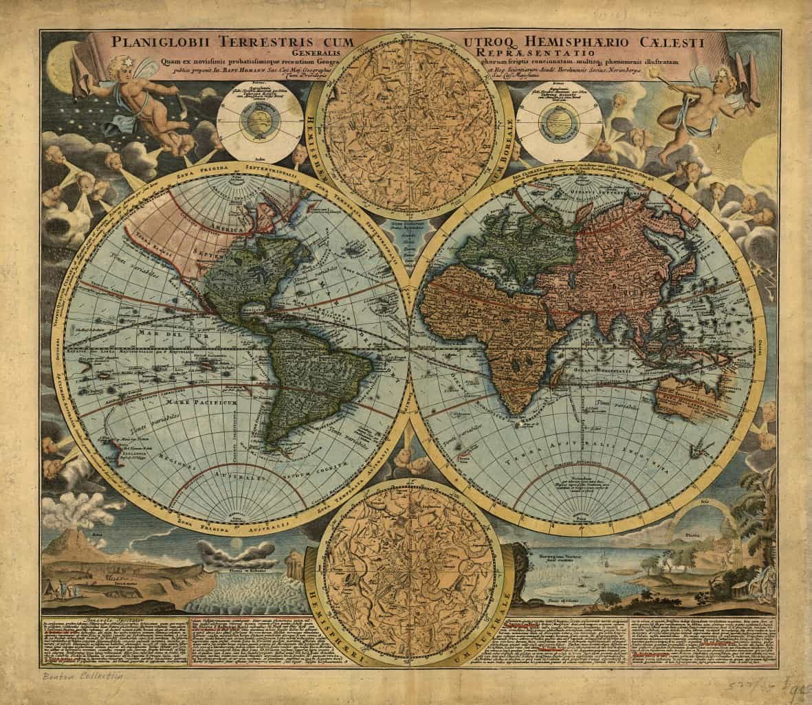
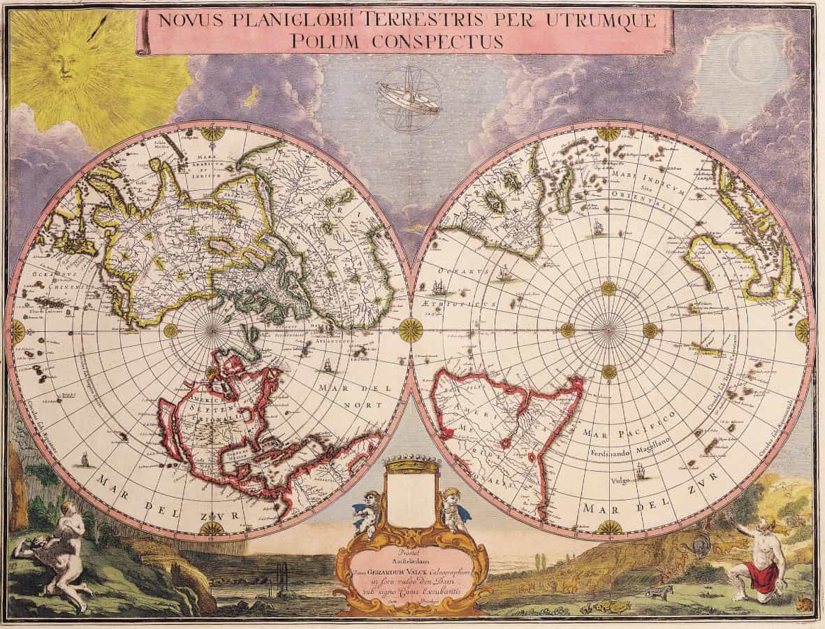
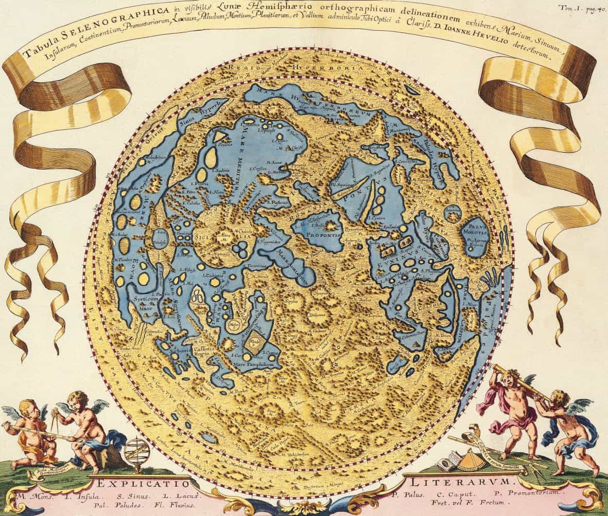
Old cartographic maps are believed to have its origins to astronomy. Many ancient civilizations from the Babylonians, Egyptians, to Chinese has progressively charted maps and terrains to mark their territories. The maps presented here are believed to be European cartography origin and dated circa 1500s (500 years old).
The collection is perfect as a Wall Art decor in any home!
The sample maps above have been downscaled for faster loading times. Actual images in the collection is much larger.
• 86 Ultra Hi Res Images of Ancient Old Maps of the world
• Instant bulk download package as 972MB in size.
• The average image size is 10MB and averages 4,000 X 5,500 in pixel size.
• Up to 24″ X 16″ inches of sharp, crisp large prints.
• Unique with no duplicated images.
• File Format: JPG

Katrina (verified owner) –
Great collection of high res maps from the Golden Age of Cartography. Especially love all the ones with Australia as “New Holland” with the whole east coast missing :D Beautiful images, and excellent value.